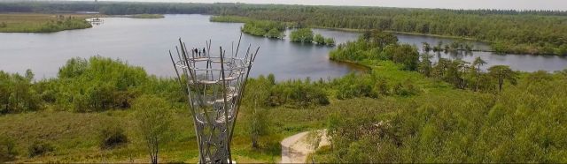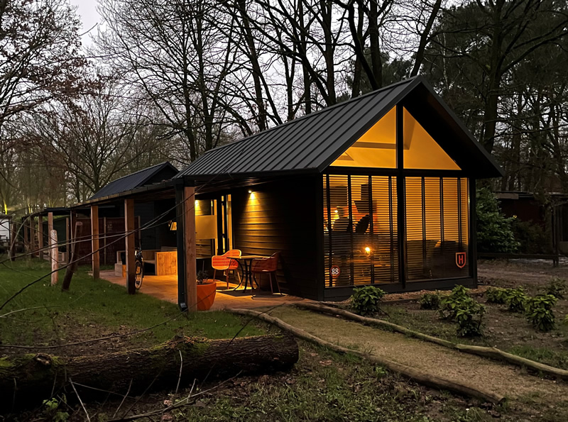
From Auberge De Hilver, you can enjoy hiking and cycling. This route map shows the cycling and walking routes in the immediate vicinity. They are official and well-marked routes via junctions, so you can set off carefree!
How this map works
Slide the map and zoom in and out to get a better view of the routes. The tabs at the top of the map let you switch between walking and cycling routes.
Tip: want to plan a route? Create your walking or cycling route through North Brabant using the online route planner at www.routesinbrabant.nl.
Cycling and walking along junction routes in Brabant
As a cyclist or walker in North Brabant, you can very easily use the junction system; a network of beautiful and clearly signposted walking and cycling paths throughout North Brabant. Each junction point has its own number. By walking or cycling from one junction point to the next, you create your own route.
Along the cycling and walking paths there are signs with the junction numbers and arrows showing you the right way. At almost every junction, there is also a panel with a route map, so you can adjust your route at any time. The distances between nodes are also indicated here.